TINH TUC HANGING VALLEY
- Wednesday - 22/12/2021 11:04
- Close page


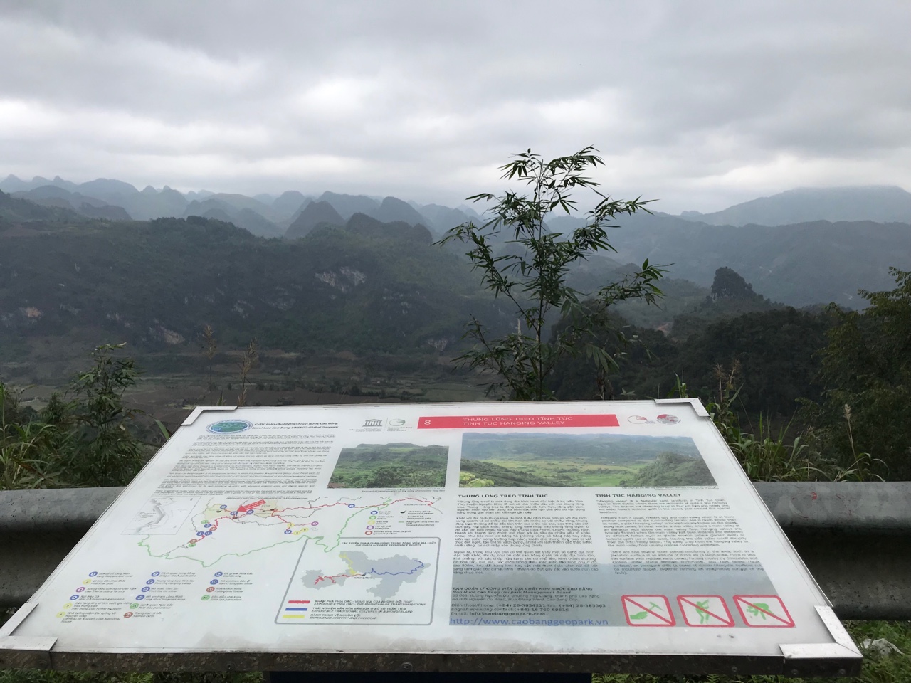
“Hanging valley” is a particular karst landform in Tinh Tuc town, Nguyen Binh district where there are remnants of quite a few hanging valleys. The one we are observing is up to four km long and nearly one km wide. Recent tectonic uplift in the recent past created this special landform.
Different from a usual, present day and main valley which is at lower position compared to the surrounding terrain, and is much longer than its width, a side “hanging valley” is located usually higher on the slopes, along fault zones. In other words, a side valley enters a main valley at an elevation high above the main valley floor. Hanging valleys are typically formed when the main valley has been widened and deepened by different factors such as glacial erosion (where glaciers exist) or tectonic uplift (as in this case), leaving the side valley cutoff abruptly from the main valley below. The steep drop from the hanging valley to the main valley floor usually creates cascading waterfalls.
There are also several other special landforms in the area, such as a planation surface at an altitude of 800m asl (a large-scale, more or less flat surface with residual karst cones, formed mostly by dissolution and erosion under stable tectonic conditions), and fault facets (fault surfaces) on limestone cliffs (a series of similar triangular surfaces cut on mountain slopes, together forming an imaginative surface of the fault).